Research and information about the history of rent control and its impact in Massachusetts
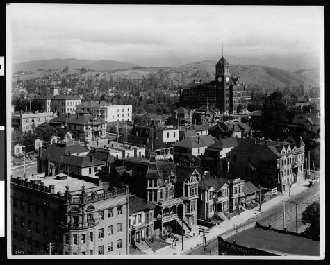
In 1904 Los Angeles passed the nation’s first land-use ordinance.
This prohibited industrial uses in residential districts.
The intention of this thinly veiled racist ordinance was to keep Chinese residents, who owned and operated laundries, out of white neighborhoods.
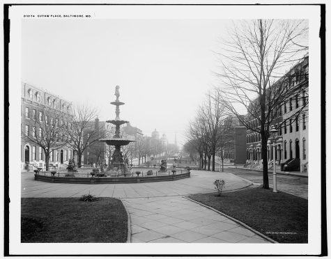
In 1910 Baltimore enacted the “West Ordinance.”
This was the first zoning law unfairly prohibiting Black residents from moving onto a block of majority white residents.
It was explicitly racist.
Similar laws were enacted across the country.
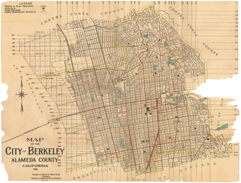
In 1916 Berkeley, CA, passed the first single-family only zoning ordinance.
Suddenly you had to be wealthy enough to afford both land and the home to live in a good neighborhood.
This was widely duplicated nationwide.
In 1917 in the case Buchanan v. Warley, the U.S. Supreme Court examined a Louisville, KY, law.
This law prohibited Black residents from purchasing land in predominantly white neighborhoods.
The Supreme Court decided this was unconstitutional.
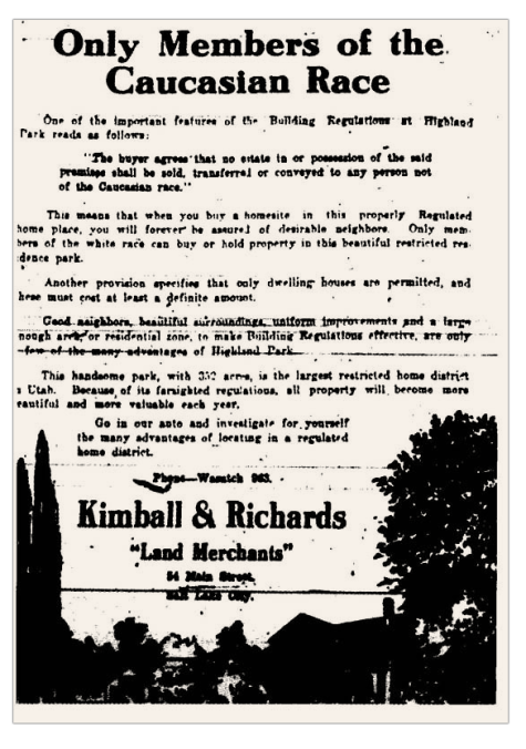
Nonetheless, racist zoning continued to be enacted.
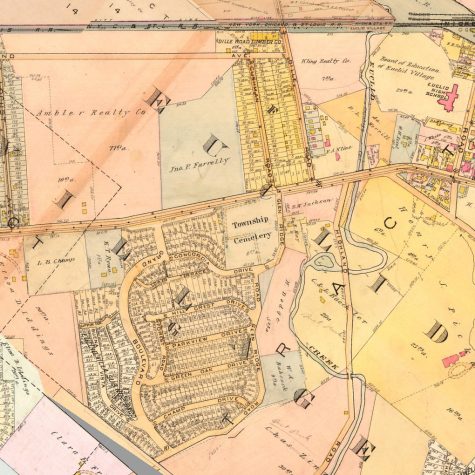
In 1926 in the case Euclid v. Ambler, the U.S. Supreme Court first examined a racist zoning ordinance justified by classist arguments.
In this case, the court ruled that zoning is constitutional.
Specifically, they upheld zoning as a form of police power.
This case is still law today.
It opened the door for the standardization of zoning ordinances throughout the nation.
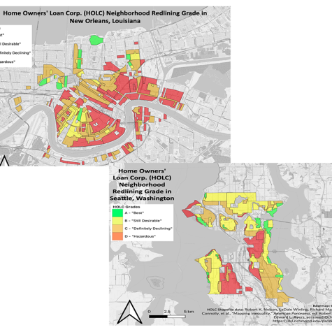
In 1937 the Federal Home Owners’ Loan Corporation (HOLC) published the first maps ranking lending risks by neighborhood in American cities.
Highest risk neighborhoods, encircled in red (“redlined”), were most commonly occupied by immigrants, Black and poor residents.
Today, some 75% of residential land in the United States is unfairly zoned for single-family only.
Single-family zoning perpetuates the racist preferences of long-dead landowners.
It reduces housing availability and raises all housing costs, including rents.